-
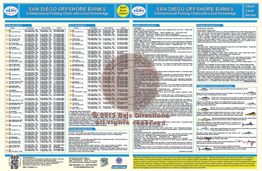
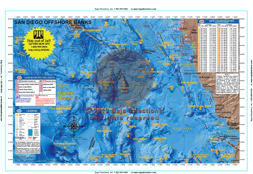 Updated with MLPAs! This chart covers the offshore fishing areas from the southern half of San Clemente Island, south to the fabled "Inner Banks" area off Ensenada. The chart now includes water as far west as the Cortes and Tanner Banks, as well as areas like the Upper 500, 483/500 and the Knuckle which can be especially hot depending on the year. Valuable information for the private boater such as clearly marked fishing hotspots with GPS coordinates and compass headings to and from all major harbors, expert tips and techniques by species and a fish identification chart that includes information on how to properly identify each featured species are included.
 -
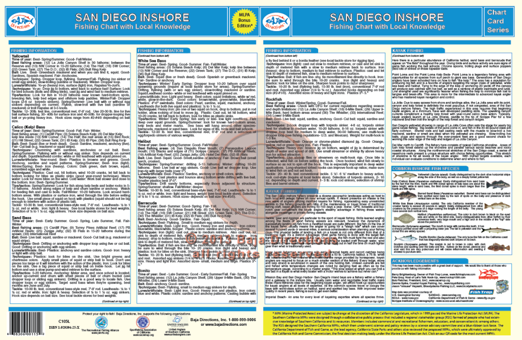
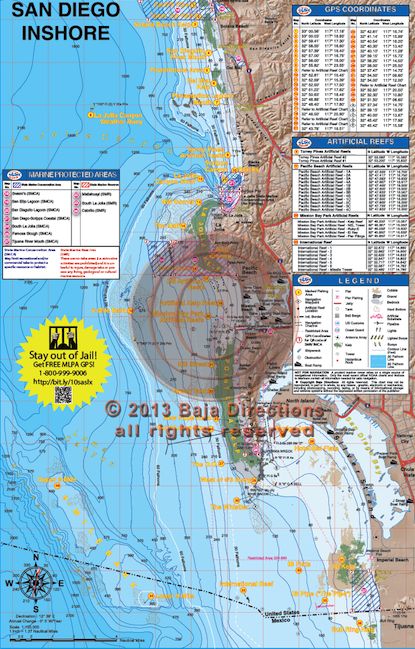 Updated with MLPAs! This chart covers the inshore fishing areas from Cardiff in north San Diego County to "The Bullring", just south of the Mexican border. Inshore anglers focusing on detailed bottom features will appreciate the larger scale of the updated version of this chart. Coverage is from the shoreline out to eleven miles offshore and features such talked-about fishing spots as the Northwest Corner and Variety Kelp areas of the La Jolla Kelp, the Green Tanks and DO areas of Point Loma Kelp and also the Imperial Beach Pipe. The chart contains valuable information for the private boater such as clearly marked fishing hotspots with GPS coordinates, expert tips, tactics and techniques by species, locations of launch ramps, jetties, artificial reefs and buoys, plus our new bottom composition and kelp data acquired from Scripps Institute!
 -
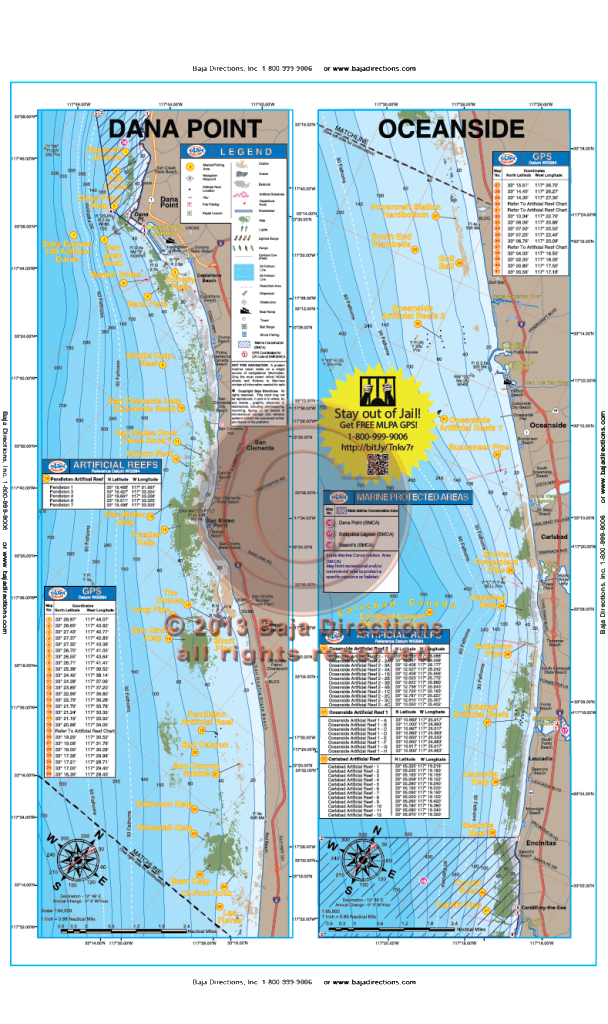 Updated with MLPAs! Our Dana Point to Oceanside chart that covers the fabled Salt Creek area in southern Laguna, down the coast to Cardiff-by-the-Sea in northern San Diego County. Locals will recognize spots like the Barber Poles, Box Canyon, Patterson Kelp, Anderson Pipe and Swami's reef, while the visiting angler will be happy to see such renowned spots as the The Domes, the Barn Kelp and Clambeds.
 -

 Updated with MLPAs! This chart covers both San Diego and Mission Bays in great detail and provides valuable information from experts like Barry Brightenburg, owner of Fish Trap Lures, on the best spots to fish, when to fish them, and how to fish them. Fish-holding areas like eelgrass beds, clam beds, submerged cable, underwater jetties and platforms are highlighted on the chart, as well as important boating information like Security Zones around Naval facilities and the locations of fuel docks and marinas in both Harbors. An added feature of this updated chart is a series of navigation waypoints lining the Main Channel that aid in nighttime navigation, both departing and returning to San Diego Bay. In addition, there is important information pertaining to boater safety and fish identification.